基于无人机多源遥感数据的灌丛草原地上生物量估算

打开文本图片集
中图分类号:S812 文献标识码:A 文章编号:1007-0435(2026)02-0559-14
Abstract:Shrub encroachment in grasslands,intensified by climate change and anthropogenic activities,repre sents a substantial threat to the health of grassland ecosystems.This underscores the presing need for effective and precise biomass monitoring methodologies.The present study was caried out in the shrub-encroached grasslands of the Xilingol League,to investigate optimal above ground biomass (AGB) estimation model by utilizing unmanned aerial vehicle-based LiDAR and hyperspectral data validated against field measurements. Stepwise multiple linear regresson,support vector machine,and random forest algorithms were employed for analysis.The results demonstrated a robust correlation between AGB and both LiDAR-derived mean canopy height and hyperspectral reflectance within the red-edge spectral region.Hyperspectral data demonstrated superior accuracy to LiDAR for herbaceous AGB inversion ( R2=0.87 vs.O.24),whereas LiDAR performed better than hyperspectral data for shrub AGB inversion ( R2=0.58 vs. O.47). Data fusion significantly improved the model performance,with the random forest model integrating features from both LiDAR and hyperspectral data achieving R2 values of O.88 and O.64 for herbaceous and shrub AGB,respectively. The related findings offer criticalscientific support for the sustainable utilization and precise management of shrub-encroached grasslands.
Key words: Grassland above-ground biomass; LiDAR; Hyperspectral; Machine learming; Shrub-encroached grassland
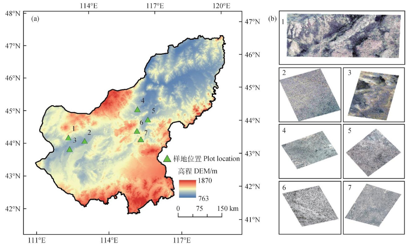
草原作为我国重要的陆地生态系统,发挥着涵养水源、防风固沙、固碳释氧等关键生态功能[1-3]。(剩余20092字)